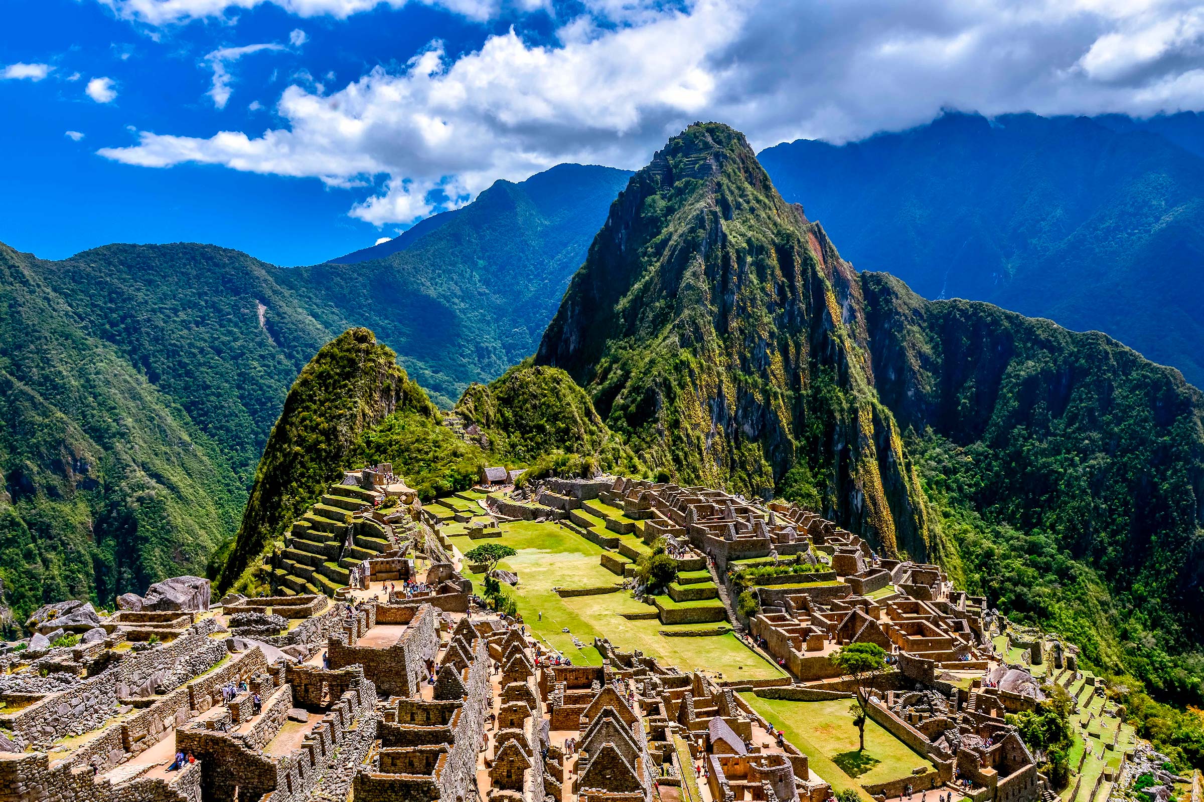

The canyon corridor surrounding the town of Santa María is a meteorological wonder. Hemmed in by vertical 2,000-meter cliffs, this enclosed basin traps moist air rising from the Amazon lowlands, generating distinct microclimatic pockets every few kilometers.
Thermal Pocket Dynamics Along the Valley
As you descend into the canyon, you will feel abrupt thermal shifts where cool mountain drafts collide with warm humid air trapped by riverside rock amphitheaters.
| Canyon Section | Elevation | Primary Microclimate | Noticeable Sensation |
|---|---|---|---|
| Upper Canyon Gorge | 1,600 m / 5,249 ft | Cool wind tunnel effect | Brisk river spray, fast air circulation |
| Santa María Basin | 1,200 m / 3,937 ft | Subtropical greenhouse pocket | Heavy humidity, warm calm air, tropical scents |
| Quellomayo Side Ravine | 1,450 m / 4,757 ft | Dense mist and waterfall spray | Frequent morning cloud banks, high soil moisture |
How Microclimates Influence Trail Conditions
- Sudden Wet Pavement: Pockets of condensation create wet road patches even when skies above appear clear. Always brake cautiously when entering shaded canyon corners.
- Rapid Sweat Evaporation Changes: In breezy upper canyon stretches, sweat evaporates quickly, masking fluid loss. In the Santa María basin, sweat stays on skin, requiring active towel wiping.
- Plant Life Indicators: Watching roadside vegetation reveals moisture levels: dry cactus patches indicate rain shadow zones, while giant bromeliads signal persistent mist channels.
Field Tip
Keep your rain jacket at the very top of your daypack in this sector. Moving through a cloud-covered bend can bring a five-minute cloudburst before returning to bright sunshine.
Ecological Significance
- Natural Citrus Haven: The trapped warmth and abundant river moisture make this canyon the citrus heartland of Cusco, famous for sweet mandarins and fresh limes.
- Bird Migration Funnel: Thousands of migratory birds use the Santa María canyon as a sheltered navigation highway through the rugged Andes.