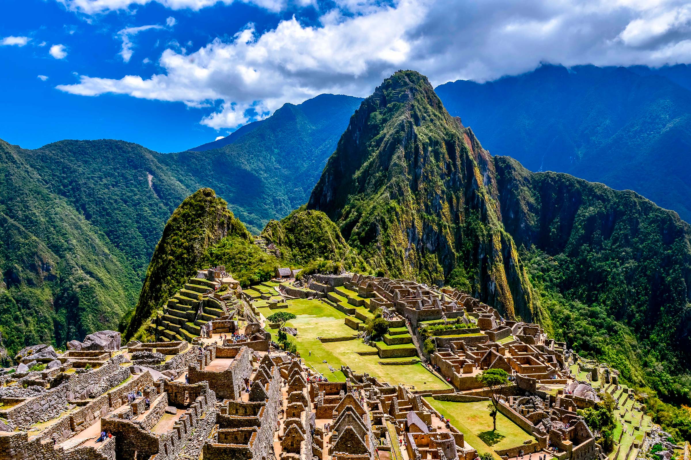

One of the most remarkable geographical phenomena of the Inca Jungle route is the staggering meteorological transition experienced within just four hours of travel. Explorers depart Cusco early in the morning, cross an arctic mountain pass surrounded by glaciers, and descend into sub-tropical cloud forest jungle teeming with orchids, hummingbirds, and banana trees.
The Dramatic Transition from Alpine Puna to Amazonian Jungle
The high Andean ecological zone known as the Puna is defined by thin air, intense UV radiation, and near-freezing winds. Conversely, the Ceja de Selva (eyebrow of the jungle) traps warm, moisture-laden air currents originating from the Amazon basin, producing high humidity and microclimates that shift literally around every bend of the highway.
| Climate Zone | Typical Temperature | Humidity Level | Primary Flora & Fauna |
|---|---|---|---|
| High Puna (Abra Málaga) | 0°C to 8°C (32°F – 46°F) | 25% – 40% (Dry & Cold) | Ichu grass, Andean condor, alpaca herds |
| Cloud Forest (San Luis / Carrizales) | 14°C to 20°C (57°F – 68°F) | 75% – 90% (Dense Fog & Mist) | Tree ferns, wild orchids, Cock-of-the-Rock |
| Tropical Valley (Santa María / Santa Teresa) | 22°C to 28°C (72°F – 82°F) | 65% – 85% (Warm & Humid) | Coffee shrubs, cacao, papayas, parrots |
Managing Your Body Temperature Across Extremes
- Base Layer Efficiency: Wear a moisture-wicking synthetic t-shirt under your windproof jacket at the summit so that as you begin to sweat in the warmer valleys, sweat does not stay trapped against your skin.
- Zipped Ventilation: Utilize cycling windbreakers equipped with underarm ventilation zippers that can be opened as soon as the altitude drops below 2,500 meters.
- Buff or Neck Gaiter Utility: A lightweight neck gaiter protects against icy wind at 4,300 meters and transforms into a sweatband or sun protector once you hit the humid river level.
Traveler Advice
Do not pack your tropical clothing at the bottom of your luggage. Keep lightweight shorts and breathable shirts in your daypack so you can change immediately at Huamanmarca before starting lunch or afternoon rafting.
Crucial Weather Insights
- Afternoon Rain Patterns: In the cloud forest, thermal updrafts create brief afternoon downpours between 2:00 PM and 4:00 PM. Carrying a compact rain poncho keeps you moving smoothly.
- Rapid Dehydration in Mist: You may not feel thirsty while cycling down cold slopes, but the dry air at high elevation combined with rapid breathing dehydrates your muscles before you reach the valley.